
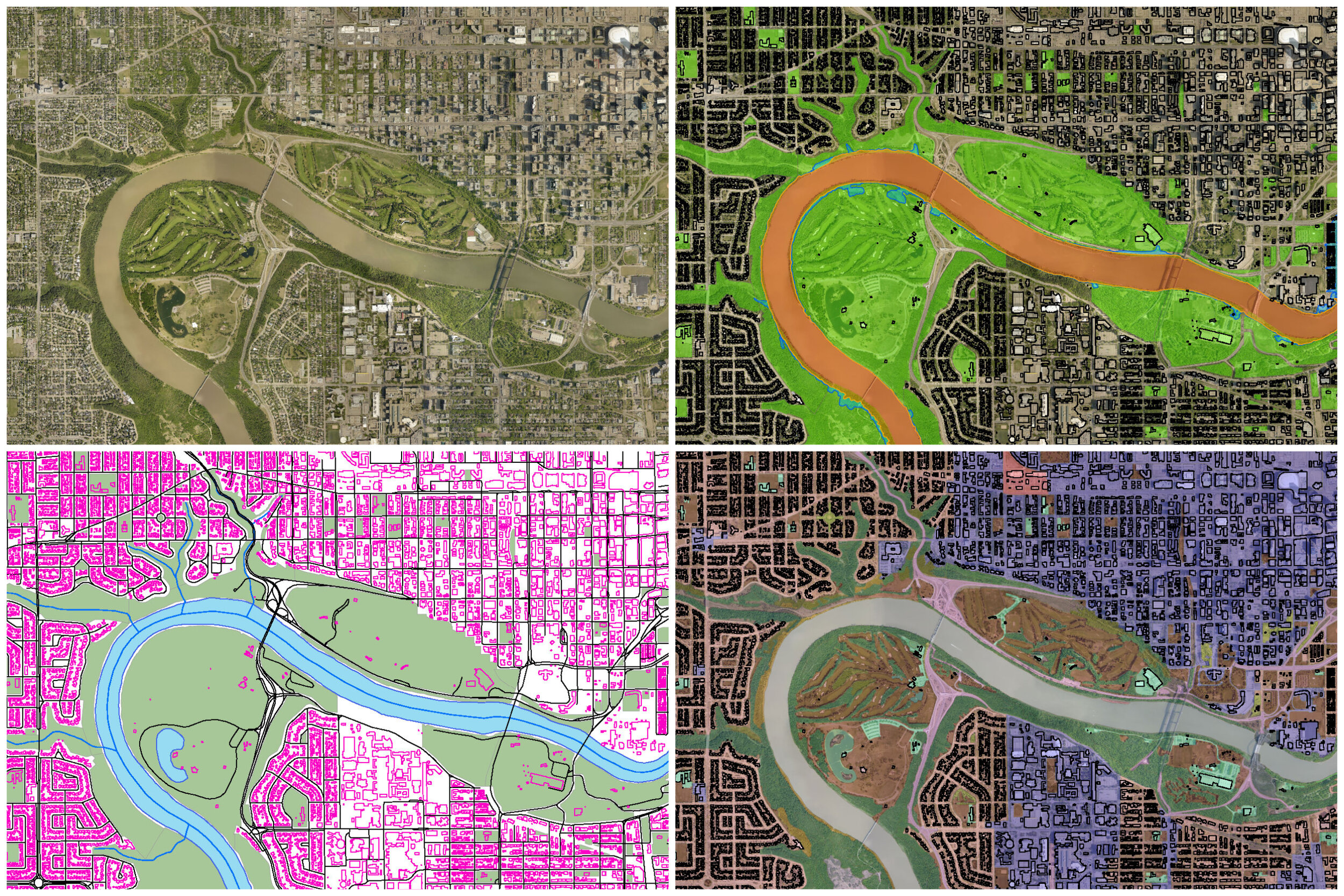
GIS Mapping and Analysis
Our GIS experts remain apprised of ever-expanding GIS open data sets. We provide the following services in support of various project types:
Biophysical and historical spatial data analysis (queries, overlays & modelling)
Data production, management and curated hand-over
Develop field data collection methods
Work with design engineering counterparts to advise on potential environmental impacts and mitigation strategies
Maximize use of available GIS open datasets
Create cartographic map outputs & customized map-books
